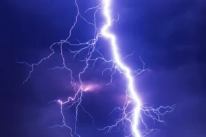
The Met Office has warned of potential thunderstorms for York and areas across North Yorkshire this weekend.
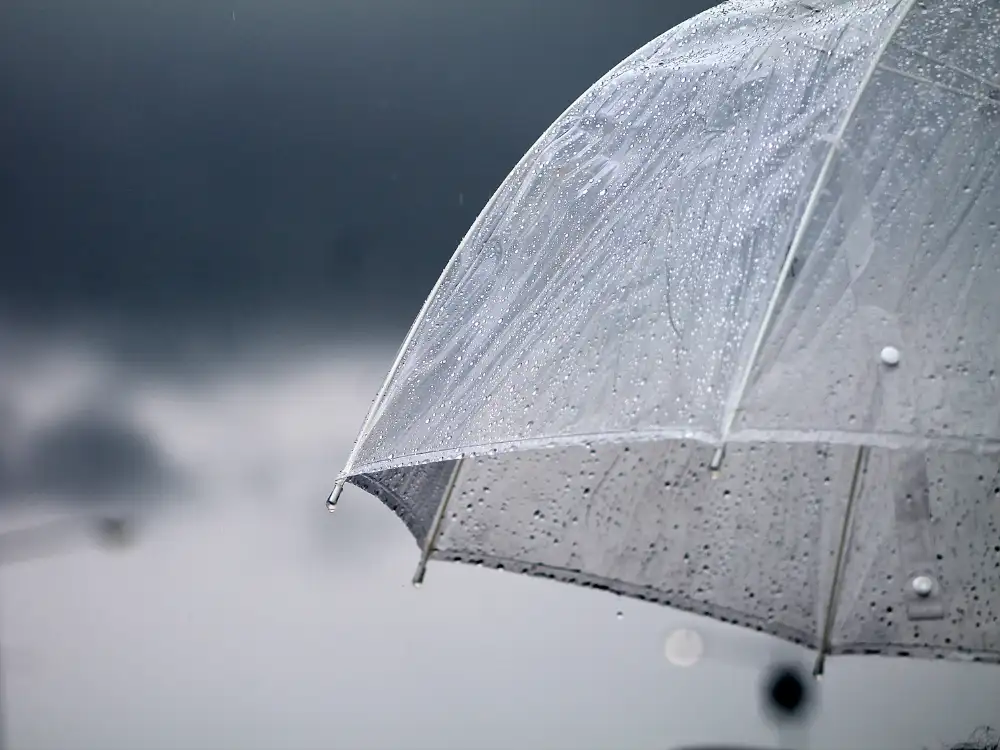
Temperatures are expected to rise to 27°C, after having dropped considerably since last weekend’s heatwave. Heavy showers and thundery spells are expected from tomorrow (Friday 18 July), and a yellow weather warning is in place from 9pm on Friday until 6pm on Saturday.
Rain could become torrential, and the weather is likely to cause travel delays and disruptions throughout the weekend, a Met Office spokesperson said.
⚠️ Yellow weather warning issued ⚠️
— Met Office (@metoffice) July 17, 2025
Thunderstorms across much of England
Friday 2100 – Saturday 1800
Latest info 👉 https://t.co/QwDLMfRBfs
Stay #WeatherAware⚠️ pic.twitter.com/eVyX9XL4h6
The Met Office have given the following advice:
- Spray and sudden flooding could lead to difficult driving conditions and some road closures
- Where flooding or lightning strikes occur, there is a chance of delays and some cancellations to train and bus services
- Power cuts might occur and other services to some homes and businesses could be lost
- Flooding of homes and businesses could happen quickly, with damage to some buildings from floodwater, lightning strikes, hail or strong winds
- Fast flowing or deep floodwater is possible, causing a danger to life
- Some communities might become cut off if roads flood
Areas covered by the yellow weather warning include:
- York
- Malton
- Pickering
- Ripon
- Scarborough
- Thirsk
- Filey
- Whitby
Friday is expected to be warm and humid, with sunny spells and showers. These are forecast to become heavy and thundery during the afternoon.
For Saturday, temperatures will cool as conditions become more unsettled. Rain or showers are expected to move across the region, some of which may be heavy and thundery at times.
To view the official Met Office map online, click here.