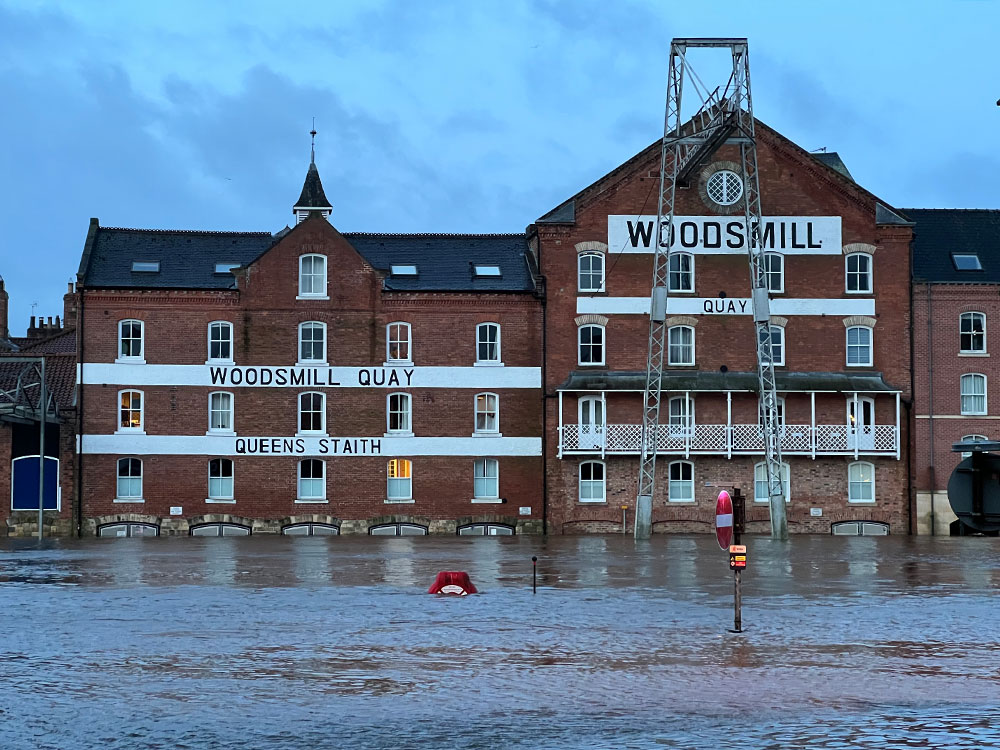
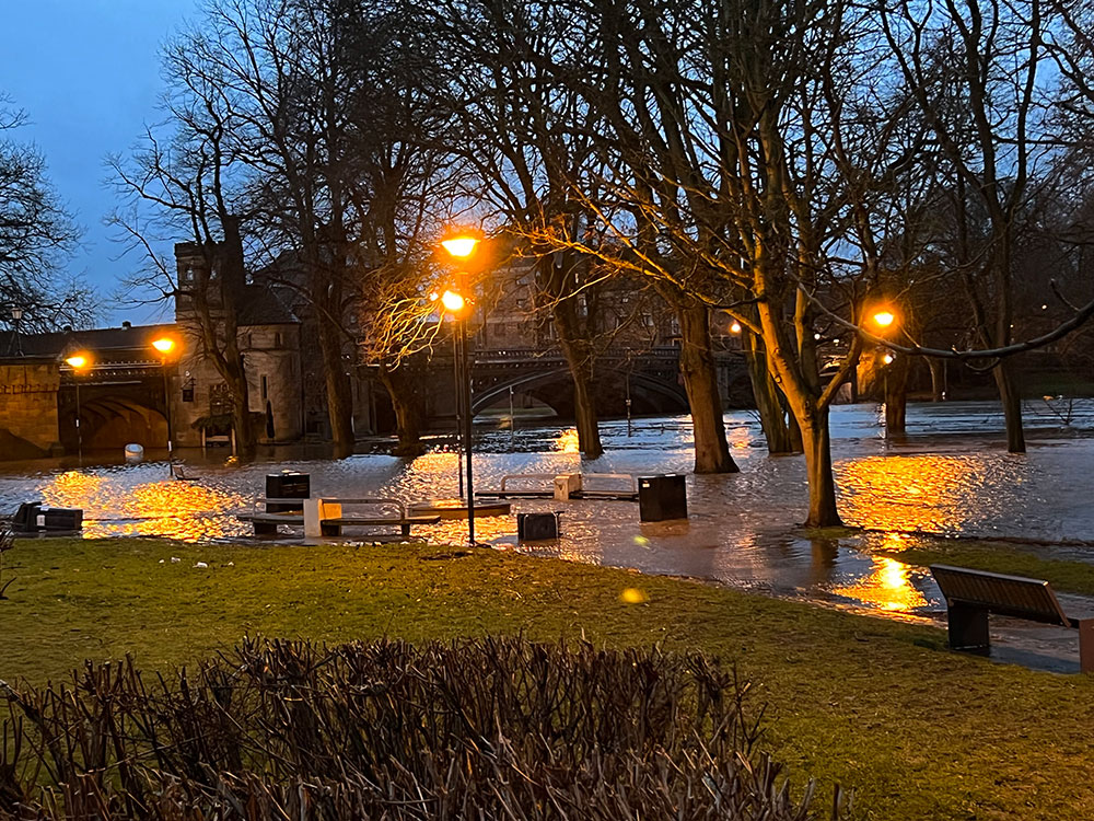
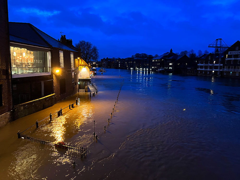
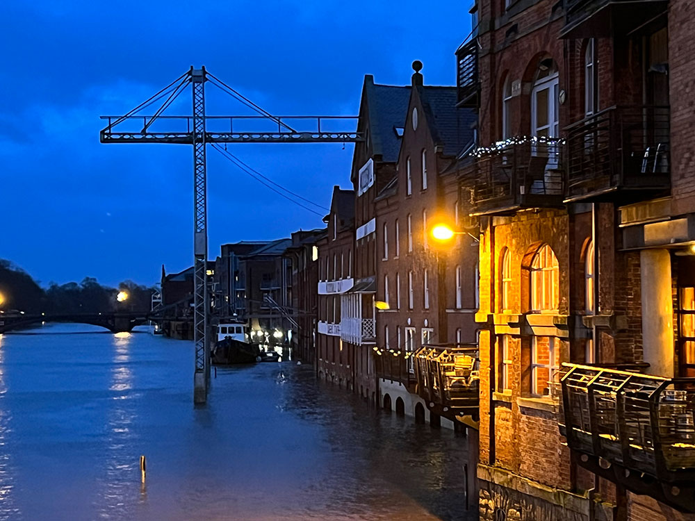
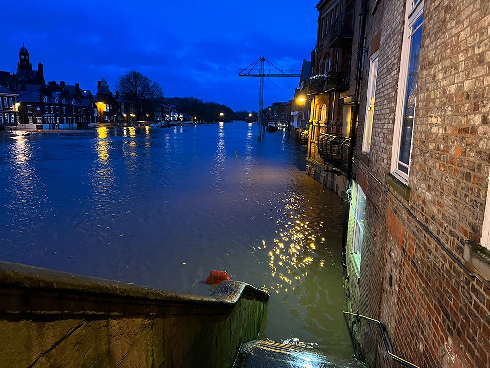
This is what York was waking up to this morning – the river is high, but only flooding the riverside.
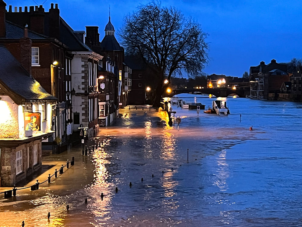
Fears that we were in for a record-breaking flood are receding this morning.
The latest forecast sees the Ouse peaking at 5.22m at noon tomorrow. That’s high but less than earlier predictions, which suggested the levels could exceed the 5.4m record set in 2000.
CONTINUES BELOW
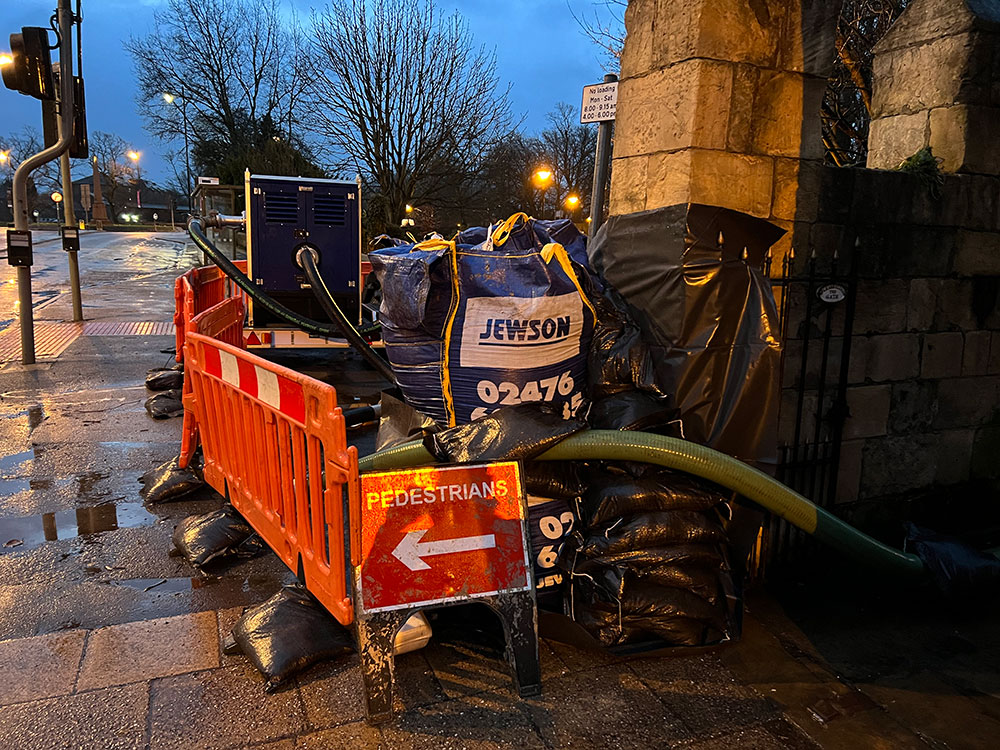
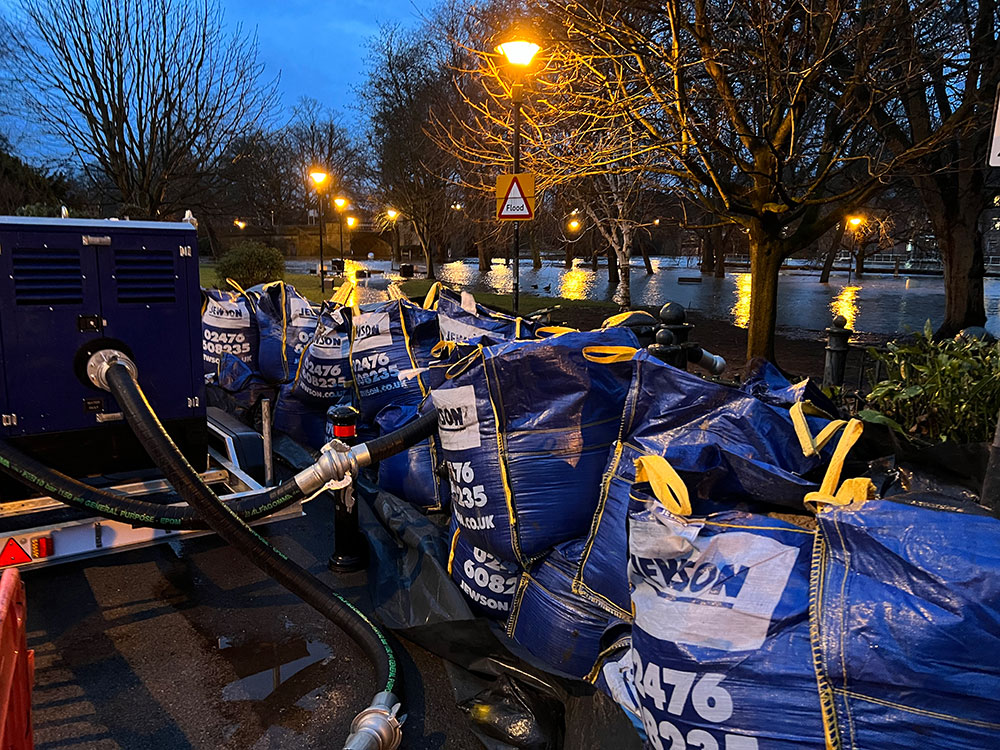
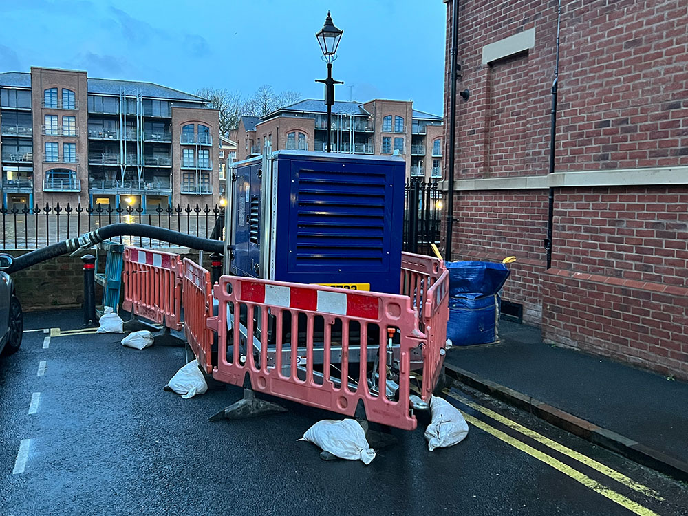
Sandbags outside Tower Gardens
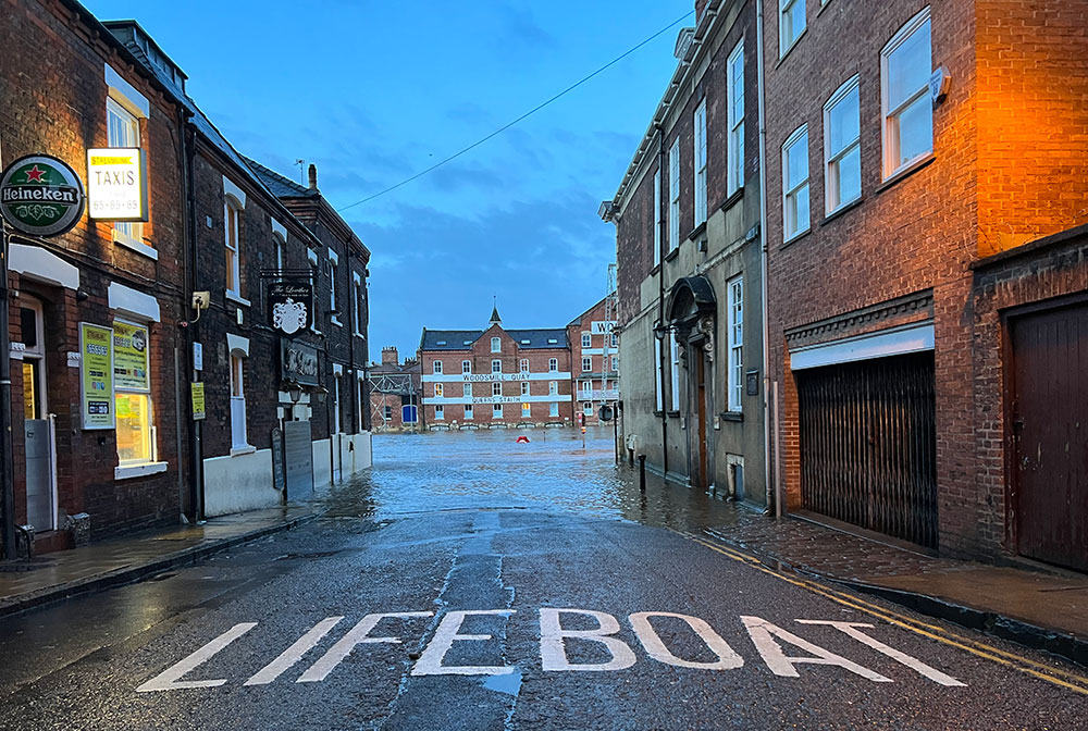
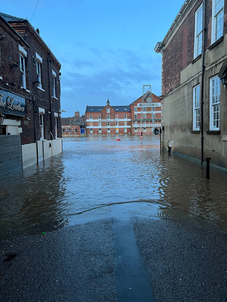
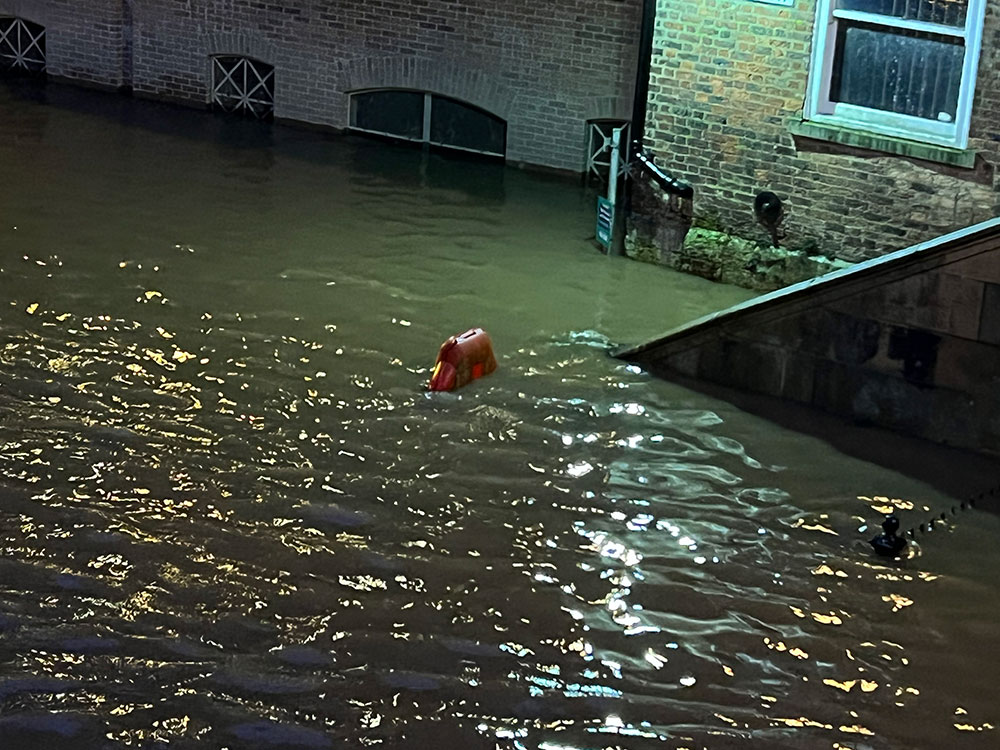
The King’s and Queen’s Staiths are submerged as usual.
Pumping stations and sandbags are in place at the entrance to Tower Gardens and at the end of Peckitt Street.
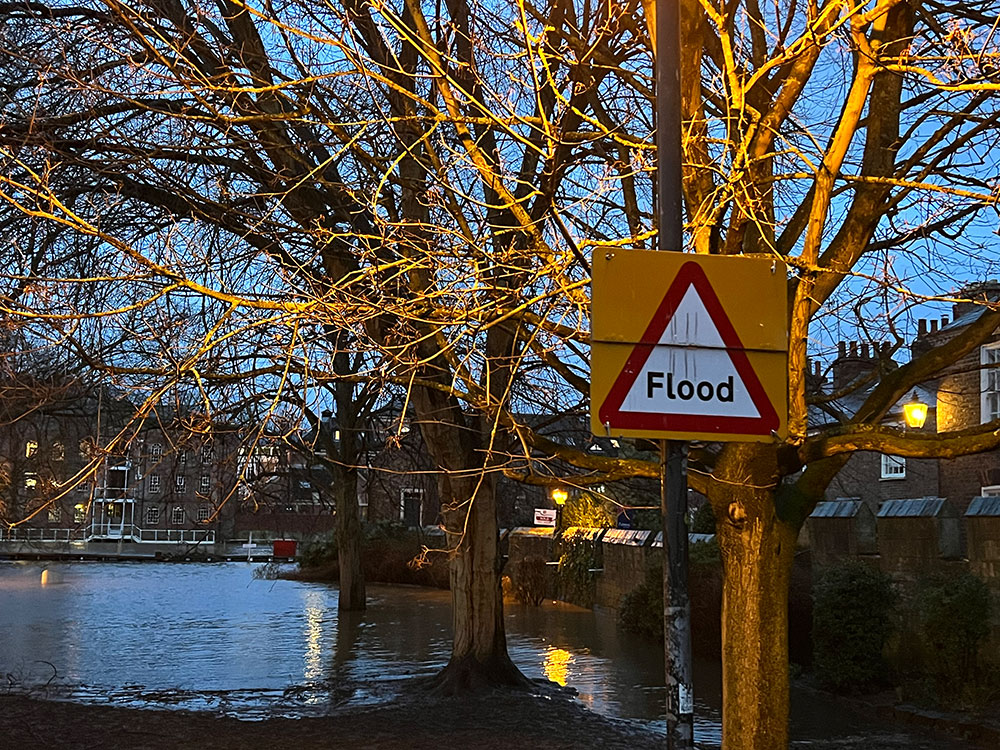
In Tower Gardens, the water is over some of the footpaths but not yet up to the boundary walls.
Rowntree Park is closed today because of the floods.
Away from the riverside, York was operating normally. Roads are unaffected in the city centre.
There are now five flood warnings around York – see below.
Flood warnings River Ouse at York – riverside properties Areas most at risk include Properties on King’s Staith in York and riverside areas through York from Lendal Bridge to Millennium Bridge. Property flooding is expected
River Ouse at York – St George’s Field and Queen’s Staith The flood warning for the River Ouse at York – St George’s Field and Queen’s Staith remains in force as river levels are rising due to recent heavy rainfall in the Dales. Flooding of properties, gardens, roads and paths is expected.
River Ouse at Naburn Lock Flooding is expected to affect locations near the River Ouse, with low lying land expected to be most affected, particularly around Naburn Lock Buildings and Lock Cottages.
River Ouse at Linton Lock Flooding is forecast to affect locations near the River Ure, with low lying land expected to be most affected, particularly around the caravan park at Lock Bridge and isolated properties at Linton Lock.
River Wharfe at Kirkby Wharfe The level of the River Wharfe at Tadcaster has now reached 3.7m and is expected to peak at 3.9m, before falling later on Monday morning.
Flood alerts Upper River Ouse The flood alert for the upper Ouse remains in force as river levels are rising due to recent heavy rainfall in the Dales. Flooding is expected to affect locations near the River Ouse, with low lying land most affected, particularly around Riverside footpaths and low-lying land in York and south as far as Naburn Lock, including Kings Staith, Queens Staith, and South Esplanade.
Tidal River Ouse from Naburn Lock to Selby The flood alert for the Tidal River Ouse from Naburn Lock to Selby remains in force as river levels are rising due to recent heavy rainfall in the Dales. Low lying land around the River Ouse is at risk of flooding. You should avoid walking, cycling or driving through flood water.
Lower River Derwent Flooding is forecast to affect locations near the River Derwent, with low lying land expected to be most affected, particularly around local roads and low-lying land around Stamford Bridge, Pocklington, Wressle, Wilberfoss and Elvington.
Lower River Nidd catchment Flooding is forecast to affect locations near the River Nidd, with low lying land expected to be most affected, particularly around Land around the Lower River Nidd and its tributaries including Sand Beck, Sike Beck, Pool Beck and Great Gutter.
Lower River Wharfe Flooding is forecast to affect locations near the River Wharfe, with low lying land expected to be most affected, particularly around The Lower River Wharfe and tributaries from Ilkley to upstream of Ulleskelf.
Tidal River Wharfe Flooding of low-lying land and roads is possible. Levels are in Tadcaster rose overnight, and levels started to rise slowly around Cawood.